

Nepal on Wednesday objected to a new map released by India that places the disputed area of Kalapani within Delhi’s borders, saying it was “clear” the territory belonged to Kathmandu.
On Saturday, India released the new map following its decision to split the state of Jammu and Kashmir into two administrative territories.
On the map, India’s border cuts into Kalapani — long a source of contention between the two countries, particularly because Indian troops have been deployed in the area for more than 50 years.
Nepal “is committed to protecting its international border,” the foreign ministry said in a statement.
“Any border-related issue relating to the two friendly countries needs to be resolved through diplomatic channels on the basis of historical documents and evidence.”
“The Nepal government will not accept any unilateral decision,” it added.
An 1816 treaty established Nepal’s western boundary with India along the Kali River, but border disputes have arisen over a discrepancy between the two sides over where the source of the river is located.
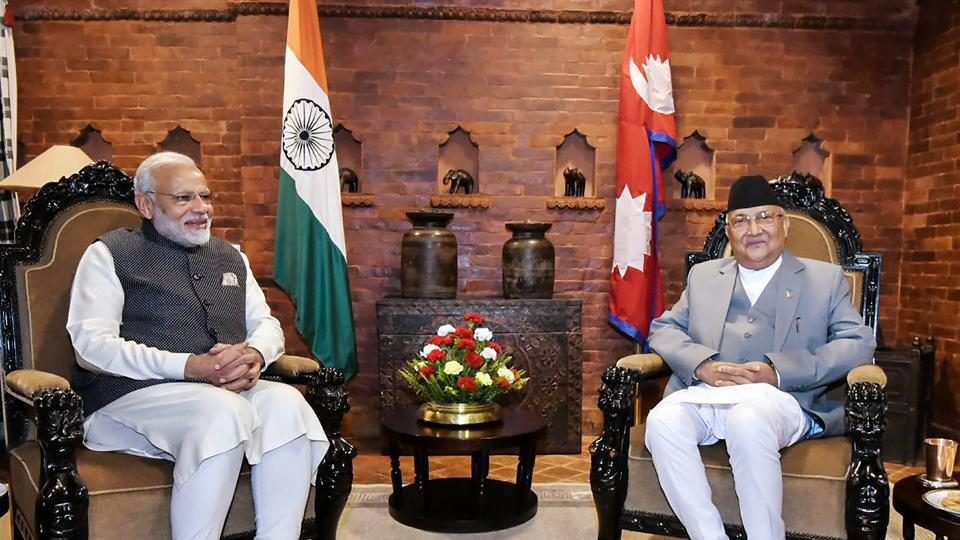
Rajan Bhattarai, the foreign relations advisor to Prime Minister KP Sharma Oli, said a solution would be sought through talks.
“We have to verify the authenticity of the map and examine the borderline from our concerned authorities and experts. Then we will start talks using our diplomatic channels,” Bhattarai told AFP.